Road trips can be exhilarating, but nothing dampens the spirit quite like unexpected road conditions. That’s why many Californians, including myself, rely heavily on Caltrans for accurate road condition reports.
Let’s explore just how reliable these reports are, and why so many of us trust them for our travel planning.
Real-Time Monitoring Is The Backbone of Accurate Reports

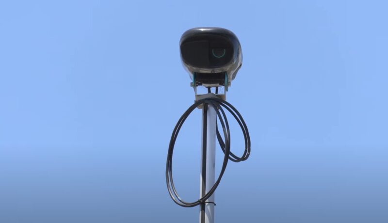
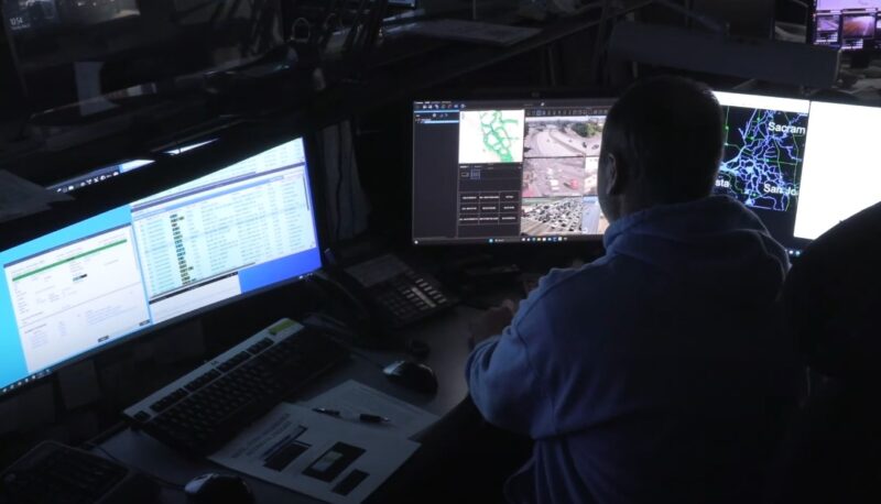
Caltrans employs an extensive network of traffic cameras and sensors to keep an eye on road conditions across the state. This real-time monitoring system is key to providing up-to-the-minute information.
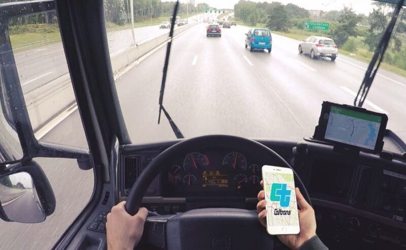
Whenever I check the Caltrans website or their QuickMap app, I’m confident that the data is current. This real-time aspect is crucial, especially when weather conditions can change rapidly, making a big difference in road safety.
QuickMap Has Become a Tool I Can’t Travel Without
QuickMap has become a staple in my travel toolkit. Many users on platforms like Reddit also praise QuickMap for its accuracy and timely updates. The integration of information from Waze adds another layer of reliability.
Whether I’m planning a trip to Tahoe or navigating through Los Angeles, QuickMap has consistently provided accurate and comprehensive road condition information.
Key Features of QuickMap
- Traffic Cameras: Offers live views of traffic conditions.
- Incident Reports: Lists real-time road closures and traffic incidents.
- Roadwork Updates: Informs about ongoing and upcoming roadwork that might affect travel plans.
Official Reports and Mandates

Caltrans doesn’t just provide this information out of goodwill. There’s a mandate to ensure the accuracy of their traffic information. This includes updates on road closures, traffic incidents, and maintenance work.
Knowing that there’s a formal obligation to keep this information precise gives me added confidence when I check their reports.
High Pavement Ratings
The condition of the pavement is a good indicator of overall road quality. Caltrans’ pavement conditions regularly receive high ratings, which indirectly assures the accuracy of their reports.
For instance, the 2019 pavement rating exceeded performance targets, reflecting well-maintained roads and reliable reporting on their condition.
Traffic Monitoring and Reporting Tools
- Caltrans has deployed a network of real-time traffic cameras and sensors to monitor traffic flow and road conditions as part of their mandate to provide accurate traffic information.
- The Traffic Accident Surveillance and Analysis System (TASAS) Branch maintains a comprehensive database of highway inventory and crash data. This data allows for the generation of reports identifying high crash concentration locations, which aids in further safety analysis and investigation.
Highway Performance Monitoring System (HPMS)

- HPMS provides essential information to state and federal legislators, ensuring the connectivity and functionality of the highway system. This system includes an annual data reporting requirement, ensuring that data is current and reliable.
- The HPMS Branch ensures that accurate, complete, and reliable information is available to decision-makers at various government levels, which is crucial for securing transportation funding and maintaining the road system’s functionality.
Real-time Travel Information
Caltrans provides real-time travel information through various platforms, including QuickMap, which offers updates on road conditions, traffic flow, and incidents.
This platform integrates data from multiple sources, including traffic cameras and sensors.
Accident Reports and Analysis
The California Highway Patrol (CHP) investigates accidents on the state highway system, compiling numerous reports on the subject. These reports are used to maintain accurate and updated information on road conditions and traffic incidents.
User Feedback

User reviews on app stores for the Caltrans QuickMap app are overwhelmingly positive. Users appreciate the app’s ability to provide accurate and timely road condition information.
Features like traffic camera views and real-time road status updates are frequently highlighted in these reviews. It’s reassuring to know that fellow travelers find the app as reliable as I do.
Cutting-Edge Mobile Sensor Technology
Caltrans is not resting on its laurels. Their research into mobile sensor technology shows promising advancements in reporting road temperatures, conditions, and friction.
This technology aims to enhance the accuracy of road condition reports even further. As a tech enthusiast, I’m excited about these innovations and how they will improve the travel experience.
Trusting Caltrans for Safe Travels
From real-time monitoring to user feedback, there’s a lot that goes into making Caltrans road condition reports accurate and reliable. Tools like QuickMap, along with official updates and cutting-edge technology, ensure that we have the information we need to travel safely.
So, next time you’re planning a trip across California, don’t forget to check Caltrans for the latest road conditions. It’s a small step that can make a big difference in ensuring a smooth journey.

